

Posts with tag 'Hiking Central Oregon'
Subscribe and receive email notifications of new blog posts.
 RSS Feed
13
Bend Premier Real Estate | May 2025 Newsletter
What's in the March 2025 Bend Premier Newsletter?
- Bend Home Inventory Up With Closings Down
- Dutch Baby Pancake
- Outdoor Furniture Revival: How to Clean, Restore and Prep for Patio Season
- Alder Springs Hike in Central Oregon
- You Finally Have More Options for Your Move
22
Lava Butte is a Quick Hike Near Bend
Lava Butte is Located Just South of Bend
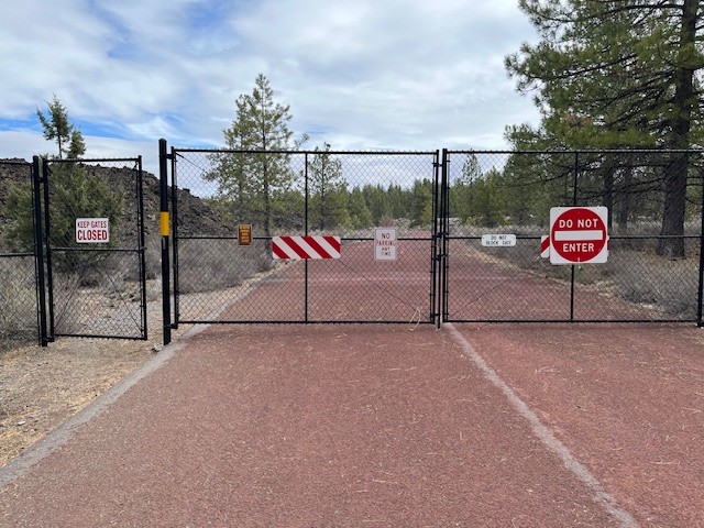
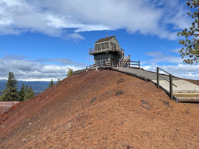
Lava Butte is part of the Lava Lands Visitor Center which is the interpretive hub for Newberry Volcanic National Monument. Located just south of Bend on the west side of Highway 97, the Visitor Center is closed from the middle of October through the beginning of May. However, the parking lot remains open year round (snow permitting) for people who hike the 5.5 mile Sun-Lava paved path over the lava fields or hike the 3.3 mile round trip up Lava Butte. The road up Lava Butte is traveled by a shuttle during the summer, but during the off season a gated fence stops vehicles from making the trip. However, hikers and bicyclists can access the butte through a person gate in the fence and enjoy the trek up the butte and views from the top.
 |
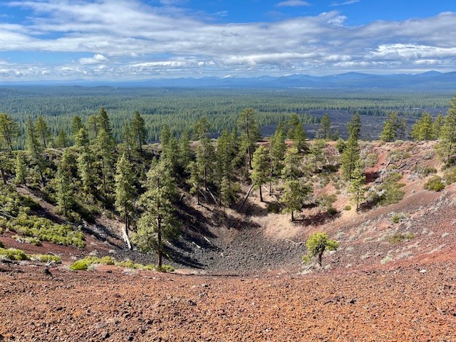 |
Those who walk the 1/4 mile around Lava Butte's rim can read a lot about the geology of the area in the interpretive signs. Newberry Crater is the largest volcano in the Cascade Volcanic Arc, with an area of 1,200 square miles when its lava flows are taken into account; this area is larger than the state of Delaware. From north to south, the volcano has a length of 75 miles, with a width of 27 miles and a total volume of approximately 120 cubic miles. Over 400 lava buttes are part of the volcano, Lava Butte being one of them. From the top of the butte, many other cinder cones are visible, among the most popular for Bend residents is Pilot Butte located within the city limits.
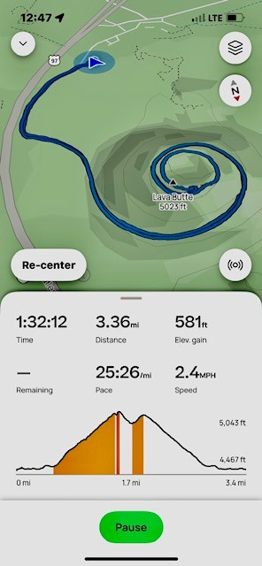
Although not a long hike, the trek up Lava Butte provides for almost 600 feet in elevation gain along a paved road. For those who want more, there are many additional hikes in Newberry Volcanic National Monument which become available late spring/early summer.
 |
 |
10
Bend Premier Real Estate | January 2025 Newsletter
What's in the January 2025 Bend Premier Newsletter?
- More Inventory and Moderate Price Increase the Norm in 2024
- Creamy Mushroom Pasta
- Cozy Ideas to Transform Your Living Room This Winter
- Hike Smith Rock for a Winter Challenge
- Get Ready to Sell a Home in 2025
8
Hike Smith Rock's Burma Road and Misery Ridge Loop for a Great Winter Experience
The Burma Road, Summit Trail, Misery Ridge Loop Can be Challenging
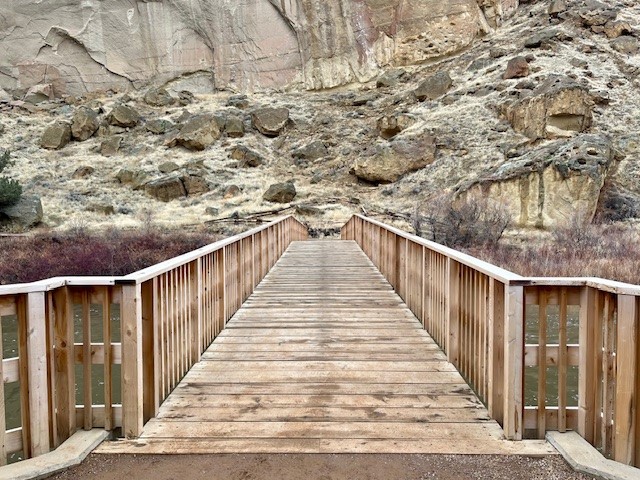
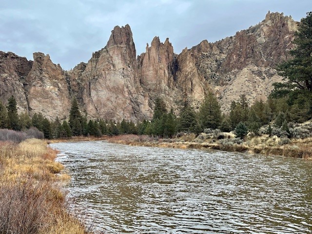
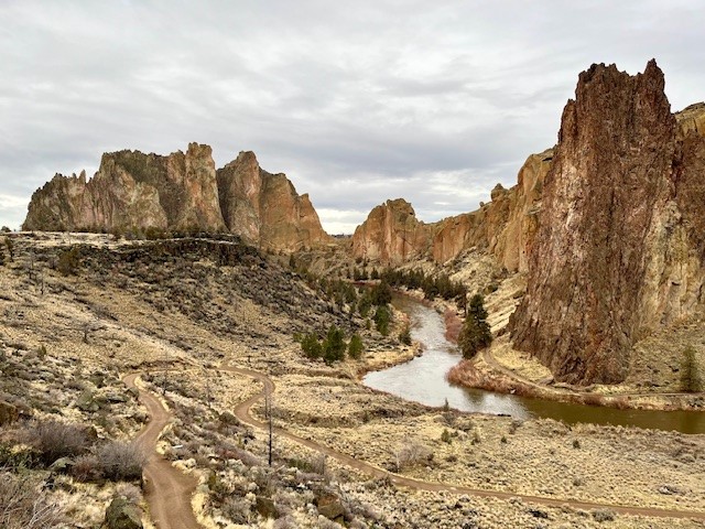
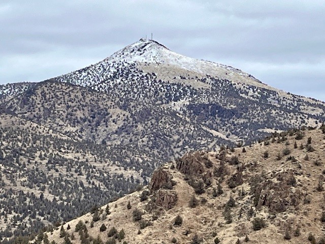
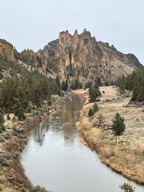
For those looking to undergo a challenging Central Oregon hike when the Cascades are covered with snow, Smith Rock State Park can provide many options. Typically very busy in the summer when rock climbing is at its peak and the weather warm, winter hikes in Smith Rock can be rewarding with fewer crowds and different perspectives of the rocks. Before sections of the park are shut off in the spring due to falcon nesting, hikers can explore little known social trails and see portions of the park rarely visited. However, for those who wish to exert themselves, hiking along the Wolf Creek trail until connecting with Burma Road, climbing it and then hiking the north side of the park along the Summit Trail, then up Mesa Verde until connecting with Misery Ridge and climbing the backside past Monkey Face to the summit until returning down to Crooked River and then up the canyon to the parking lot can be a fulfilling winter hike of over six miles and close to 1800 feet of elevation gain. During the winter, sometimes weather conditions can create icy patches, so microspikes and trekking poles can be helpful. But if the weather cooperates, the Burma Road, Misery Ridge Loop can be a wonderful challenge.
 |
 |
 |
 |
6
Bend Premier Real Estate | December 2024 Newsletter
What's in the December 2024 Bend Premier Newsletter?
- More Inventory Means More Choices for Bend Homebuyers
- Eggnog Pie
- The Dos and Don'ts for Holiday Decorating When Selling
- Hike to Paulina Falls in Winter for a Truly Unique Experience
- Ready to Sell in 2025
Privacy Policy / DMCA Notice / ADA Accessibility


